


We are waking up to heavy snow blanketed across many areas of the state. Low pressure has migrated south towards Montana and with a dose of moisture from the Pacific...we're getting hammered with cold air and blizzard-like conditions.
This widespread activity will continue through the day in most of Montana, but the northwest - Kalispell, Missoula, Helena and Great Falls - will get a breather towards the afternoon. This evening and through tonight, round two ramps up and we'll get additional scattered snowstorms to this area.
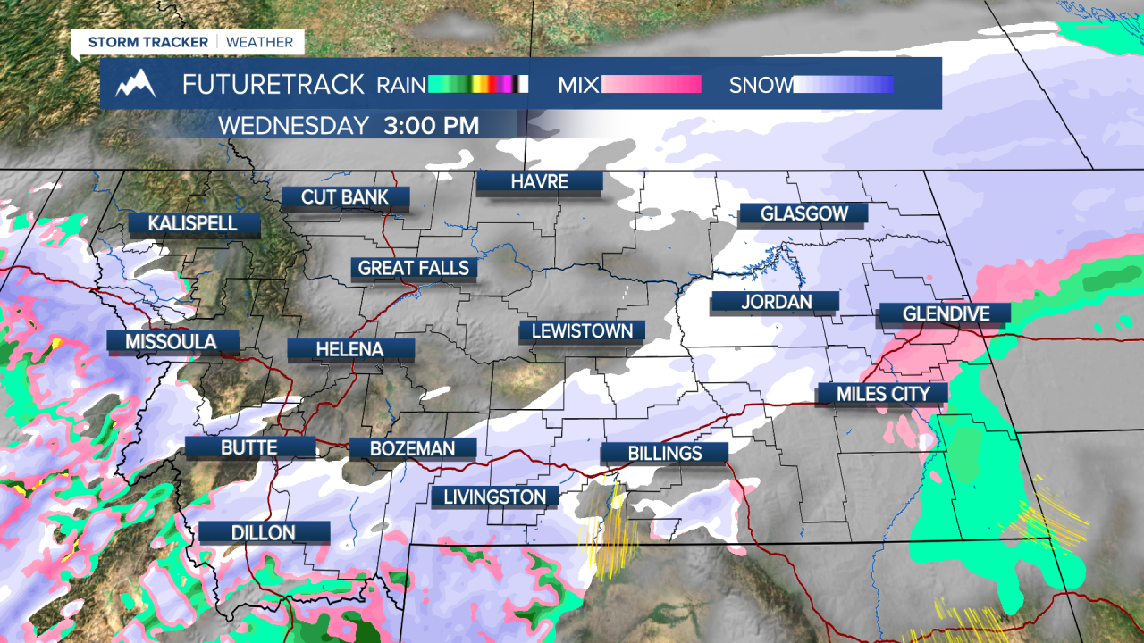
Check out the following graphics to see how this pattern will progress:


Tomorrow, temperatures remain low with very little daytime heating. Strong chance of snow showers remain in both the Helena and Great Falls areas. This system dissolves Friday and we'll see dry conditions towards the weekend. However, temps don't warm back up until Monday/Tuesday, so get ready for more super cold days in the meantime!


