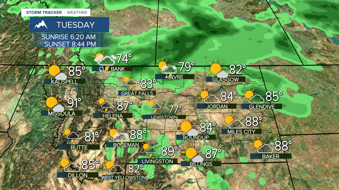
After a couple of scorching days with temperatures in the 90s and 100s, a significant pattern change is likely for Montana and much of the northern Rockies. Cooler and wetter than average weather will move in starting Sunday and this pattern could last through next week into the middle part of August. This pattern could be a boon for firefighters as wildfire danger will lessen to a degree at a time of year when it usually is peaking. Plus after a hot July and start to August, a cool down will be well received. Saturday will be another hot day with highs nearing 100 but a few isolated thunderstorms are possible in the afternoon. Sunday a cold front will move south from Canada with scattered thunderstorms and the beginning of a cooler airmass. Temperatures will still be hot with highs in the 90s, but the cool down is coming. Scattered showers and thunderstorms are likely from Monday through Wednesday for a good part of Montana. Temperatures will be cooler than average into the first full week of August. Not that heat and fire danger are anywhere near being over, it will be nice to have a stretch of cooler and wetter than normal weather.
Have a great weekend,
Curtis Grevenitz
Chief Meteorologist


