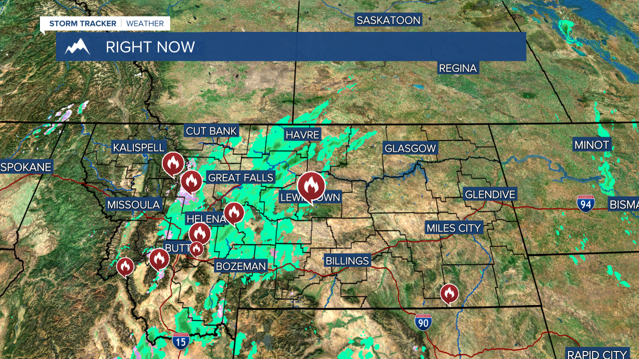
Our fortunes are beginning to turn. Thursday was a much cooler day with rain showers and higher elevation snow. Just an increase in the relative humidity is helping to slow the fire behavior. However, fires like the South Moccasin, Haystack, Crown Mountain and Spire continue to smolder and release smoke. Additional wildfire smoke from California is moving through the state as well affecting the air quality at times. There will be another chance at rain coming through on Friday, Friday night and Saturday morning. Friday will be mostly cloudy with showers and a few isolated thunderstorms moving through the state. Cooler temperatures and a little wet weather will continue to help the fire situation. Some showers will continue Friday night into Saturday morning before clearing. After some morning clouds, Saturday will become mostly sunny with highs in the 50s and 60s. A good southwest wind will increase across the plains both Saturday and Sunday. Clouds will increase Sunday ahead of the cold front that will bring significant changes. Rain showers on Sunday evening will mix with and change to snow by Monday. Right now the track of this storm system may be a little farther south which would limit snow accumulations to the southern half of the state. Some snow may continue in southern Montana into Tuesday. What very likely will happen is much colder air with highs mainly in the 40s on Monday and Tuesday. Several of the wildfires currently burning will likely see some snow accumulation. While this storm may not completely end this year's fire season, it will bring us close.
Curtis Grevenitz
Chief Meteorologist


