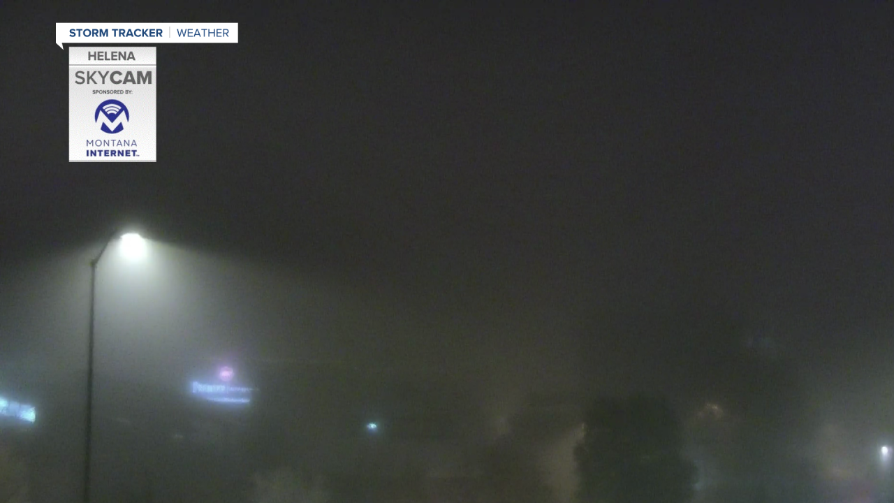
Drive safe! It's icy and we're looking at areas of thick fog Wednesday morning with poor visibility.
Helena is especially bad - drive carefully out there. This image was taken outside the KTVH station around 6:45 AM. Less than 1 mile of visibility in the valley.

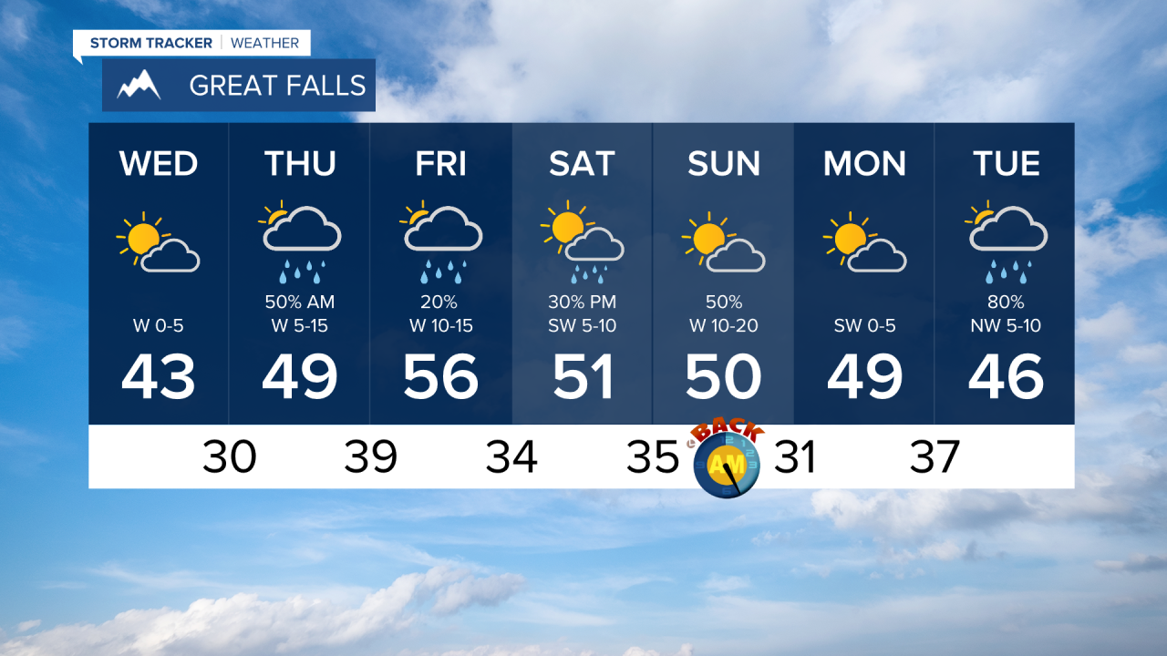
These inversions in the inter-mountain areas will keep our temperatures subdued today. It's going to feel chilly outside, grab extra layers. Highs are right around average in many areas today reaching the mid-40s. We'll get even warmer this weekend.

Despite this warming, we're actually looking at a Pacific cold front to push through tonight. This stormy system will bring mountain snow and valley rain Thursday morning. Due to cold temperatures there is a possibility for freezing rain making for very dangerous road conditions. These showers will push to eastern Montana Thursday afternoon leaving behind isolated showers through Friday.
Round two of precipitation hits Saturday night with more showers expected through Sunday.
Don't forget Daylight Savings Time! We'll get an hour extra of sleep Saturday night...make sure to set your clocks back one hour that evening.


