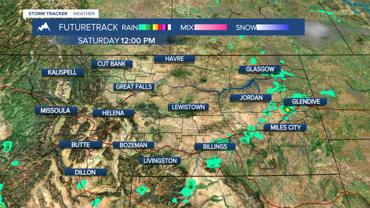
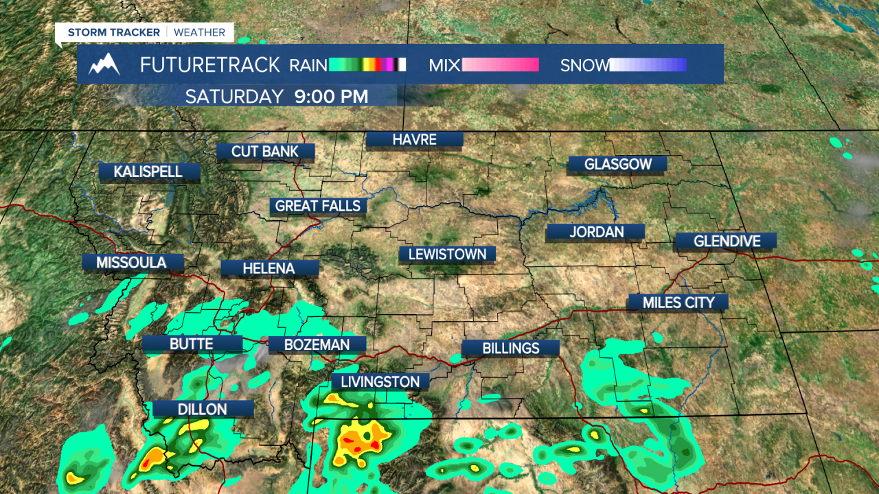
A big low pressure system in the eastern Pacific will take it's time moving into Montana, but when it does oh boy! The storm will hang out over the ocean this weekend and then move into the Pacific Northwest on Monday. The storm will create a lot of wind and thus raise the fire danger initially. There will be thunderstorms and much cooler air as well. But that's next week's problem. This weekend will be a beautiful final weekend of August. Highs will climb back up into the 80s to around 90. A few isolated storms are possible both Saturday and Sunday over the southern mountains. After all of this recent rain, the fire danger has been temporarily lowered. Most of the fires have had significant rainfall, allowing firefighters to get more control. However, fire season is not over with yet. Early next week will be hot and windy with highs in the 90s, raising the fire danger once again. A cold front will cut across the state late on Tuesday with thunderstorms and falling temperatures. Cooler air will begin moving back in on Wednesday but there will be a lot of wind. Some showers are likely across northern Montana on Wednesday, and highs will mainly be in the 60s and 70s. Thursday will be partly cloudy with showers across northern Montana. The entire state will be windy with some gusts up to 40mph. Highs again will be in the 70s.
Have a great weekend!
Curtis Grevenitz
Chief Meteorologist


