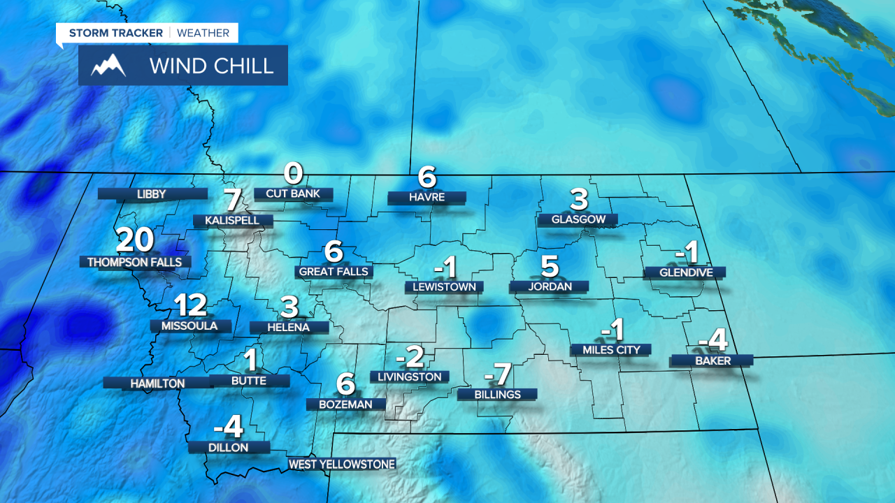
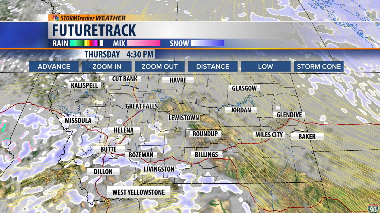
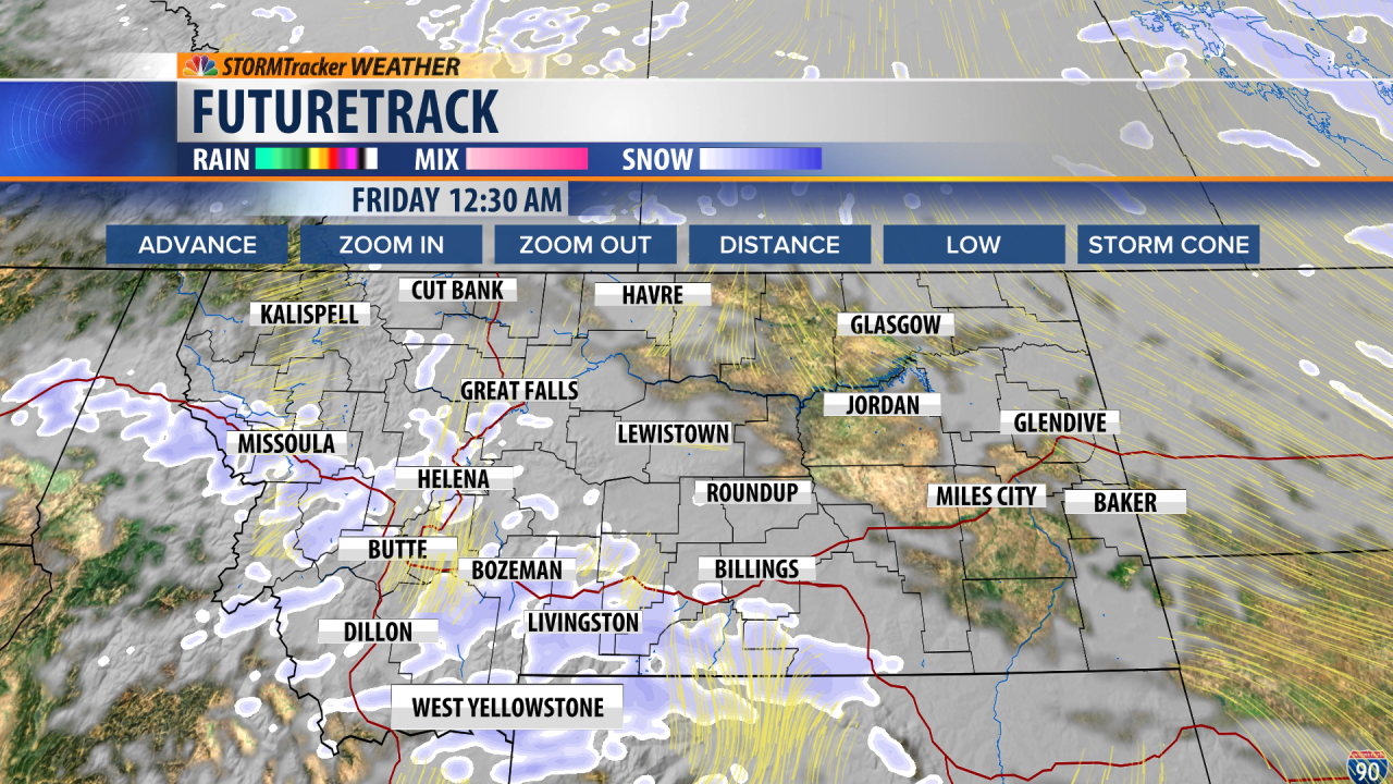
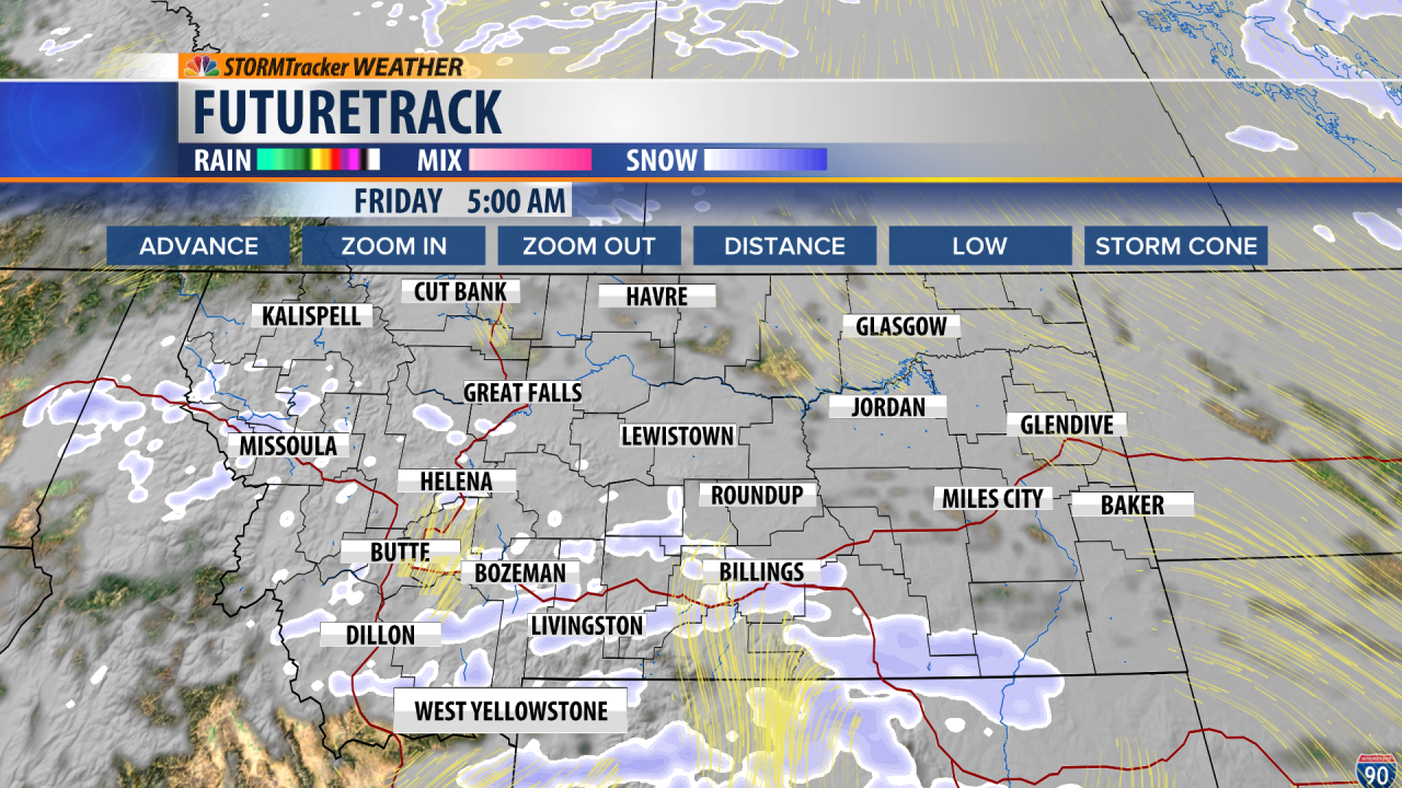
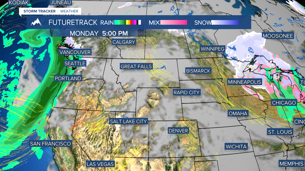
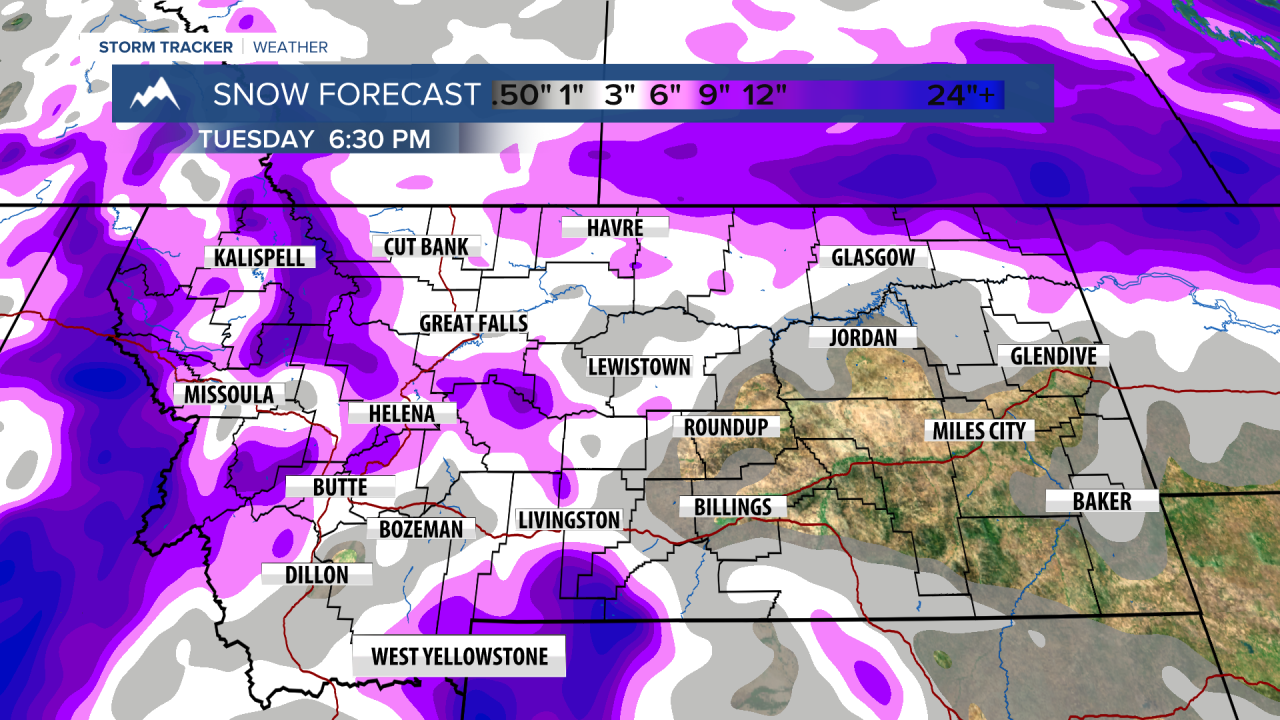
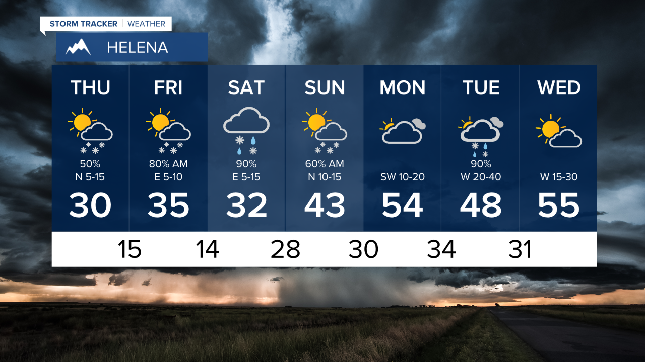
(NWSKSMO) Light scattered snow showers will continue to move northeast through western Montana during the early morning hours. Precipitation will be relatively light, and isn`t expected to create much of an impact, and will mostly be confined to the mountains. An easterly pressure gradient will remain over western Montana today, keeping the breezy conditions in the forecast. Periodic gusts up to 25 mph can be expected through this afternoon. A second, more robust surge of moisture will move into the region later this morning, and through the afternoon. This second round will bring more widespread snow showers, but will be falling during the daylight hours, limiting any accumulations on area roads. Locations where the snow may briefly accumulate on the roads, will be Lookout, Lolo and Lost Trail passes, where 2 to 4 inches of snow is possible through the evening. Showers will become more isolated in the nature Friday, and will mostly remain in the mountains, with little to no impact. The easterly pressure gradient will finally relax, as a southwesterly flow becomes the more dominate flow. We continue to watch a potential Easter Weekend snow event, as a surface low pressure system moves on shore and traverses over the Northern Rockies late Saturday and into Easter Sunday. As always: A cloudy day is no match for a sunny disposition!
Be nice to each other.
- Trey Tonnessen -

