


This weekend was so nice! Highs in the 70s with partly cloudy skies gave us beautiful sunsets and plenty of interesting clouds for all those cloud-watchers out there.
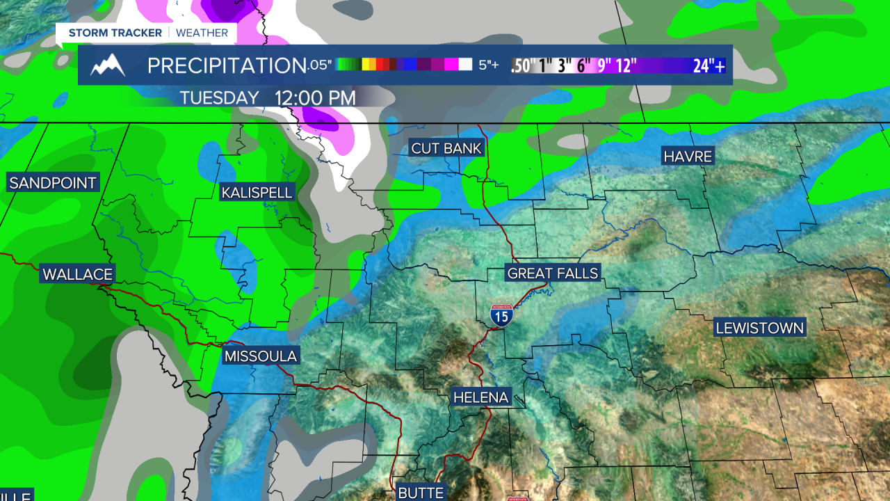
A cold front is actively moving through the state. This will trigger showers to form early this afternoon for a lot of western Montana. Some lightning strikes are possible, especially in the north-central plains
Snow will fall in Glacier National Park beginning late this afternoon. Several inches will be possible above 5000 feet. Widespread snowfall across the state is not expected.
Temperatures will drop behind the front tomorrow. Lows will be in the 20s and 30s all week with highs in the 50s and 60s.
Another small disturbance will affect our state on Wednesday. Snow will fall in the mountains of southwest Montana. At this time, it does not look like more than a maximum of a few inches. Lower elevations can get some light rain showers. Helena should expect to see some showers around late Wednesday into early Thursday.
The weekend will be slightly warmer with partly cloudy skies ahead of another large-scale weather system for Halloween week.
Helena Temperature Records Today:
High: 82 (2003)
Low: 15 (1984)
AVG: 55/31
Great Falls Temperature Records Today:
High: 80 (1915)
Low: 10 (1930)
AVG: 54/31
Have a great Monday!
Joey Biancone
Meteorologist
Facebook: Meteorologist Joey Biancone
Instagram: joeybianconewx
Email: joey.biancone@ktvh.com


