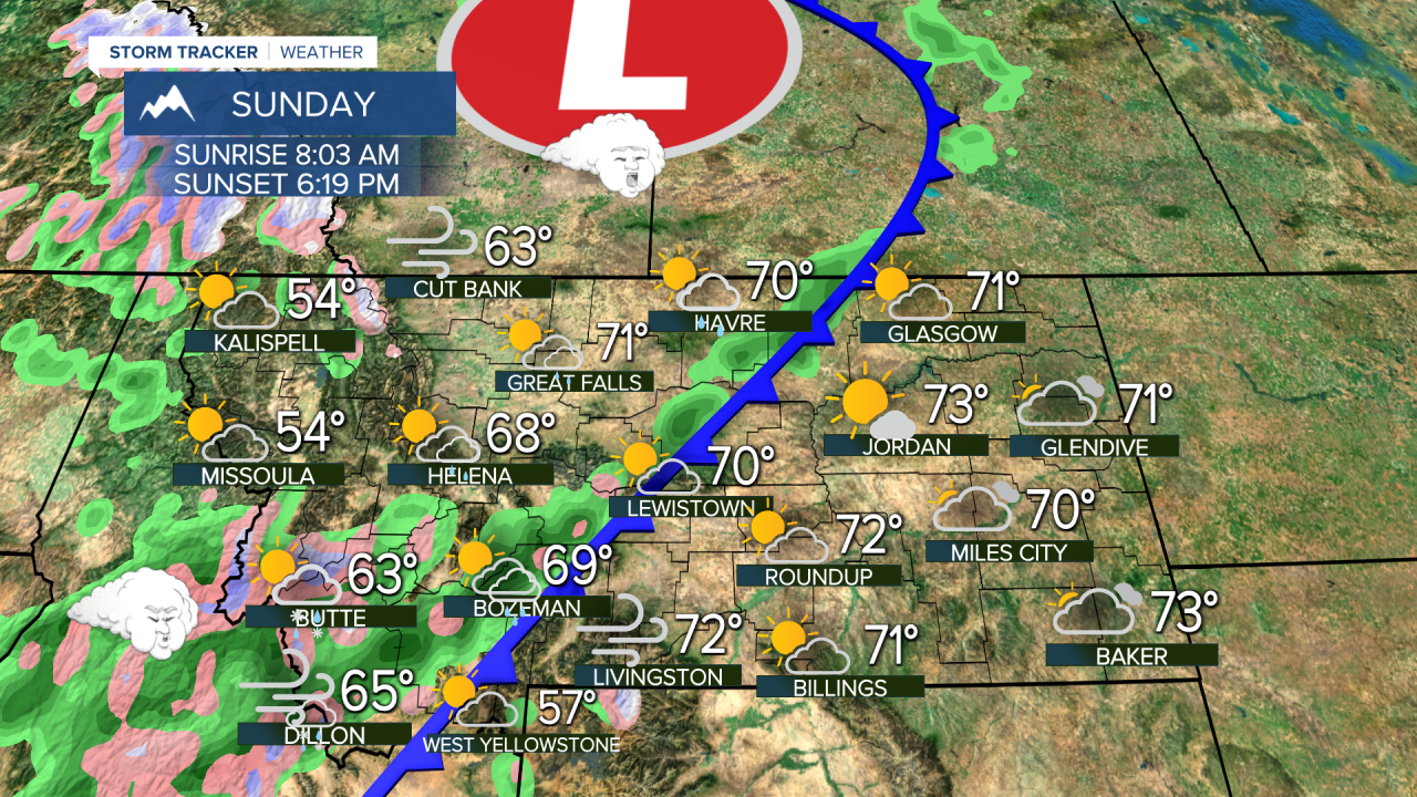
A HIGH WIND WARNING has been issued for the East Glacier area and the Rocky Mountain Front for Sunday.
This final weekend of October will be similar to how most of October has been so far - warm and dry. It's after this weekend that chilly changes move in with increasing mountain snow. General hunting season begins this weekend and it will be on the warmer side without much snow on the ground in the mountains. Halloween is less than a week away and there will be multiple changes between now and then as the weather will be on a roller coaster. This weekend will be warmer with highs in the 60s to around 70 on Saturday. Sunday will start out warm and dry but clouds will increase through the day. A few showers are possible late. Highs will be in the 60s to around 70. A strong wind will increase Sunday afternoon as the cold front moves through the state. Showers and mountain snow are likely Sunday night and Monday. Monday will be mostly cloudy with some shower activity and highs will be in the 40s and 50s. Tuesday will be colder with a few snow showers possible in the lower elevations. Highs will top out only in the 30s and 40s, making it the coldest day so far this autumn. Another storm system with mainly mountain snow is possible late in the week just ahead of Halloween. Right now it appears most if not all of the possible accumulation will be in the higher terrain.
Have a great weekend,
Curtis Grevenitz
Chief Meteorologist


