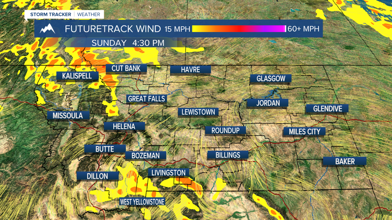
Warm late winter weather will continue for the weekend. Highs will remain above average. Saturday will be warmer with afternoon temperatures topping out in the 50s and 60s. The combination of warm temperatures, low humidity and gusty wind will create dangerous fire weather conditions over parts of eastern Montana. Also the recent warmth has melted much of the snow on the ground, leaving the dry fine fuels exposed. It is not a good day to do any burning. The warmth will also create enough instability to pop off a few isolated thunderstorms, showers and mountain snow showers. Precipitation could come down pretty heavily at times with the showers. Sunday will be a nice, breezy day with highs in the 40s and 50s. Skies will be mostly sunny to partly cloudy. A few snow showers will fly in the western mountains. Enjoy the nice weather this weekend because there will be a reminder that it is still winter on Monday. An area of low pressure will move into the state with an initial mix of rain and snow, as highs will be in the 40s. Temperatures will drop through the evening and precipitation will become all snow. Snow will continue Monday night into Tuesday. A few inches will accumulate in the lower elevations. Roads will be slippery and winter driving conditions should be expected. Tuesday will have some areas of snow, and highs will be back down in the 30s to around 40. Wednesday could have a few mainly mountain snow showers. Highs will remain cool in the 40s. Warmer temperatures will return for Friday and next weekend.
Have a great weekend!
Curtis Grevenitz
Chief Meteorologist


Posted
and last updated
Copyright 2021 Scripps Media, Inc. All rights reserved. This material may not be published, broadcast, rewritten, or redistributed.


