A RED FLAG WARNING has been issued for northeast Montana for Wednesday afternoon and evening.
A HEAT ADVISORY has been issued for southeast Montana for Wednesday.
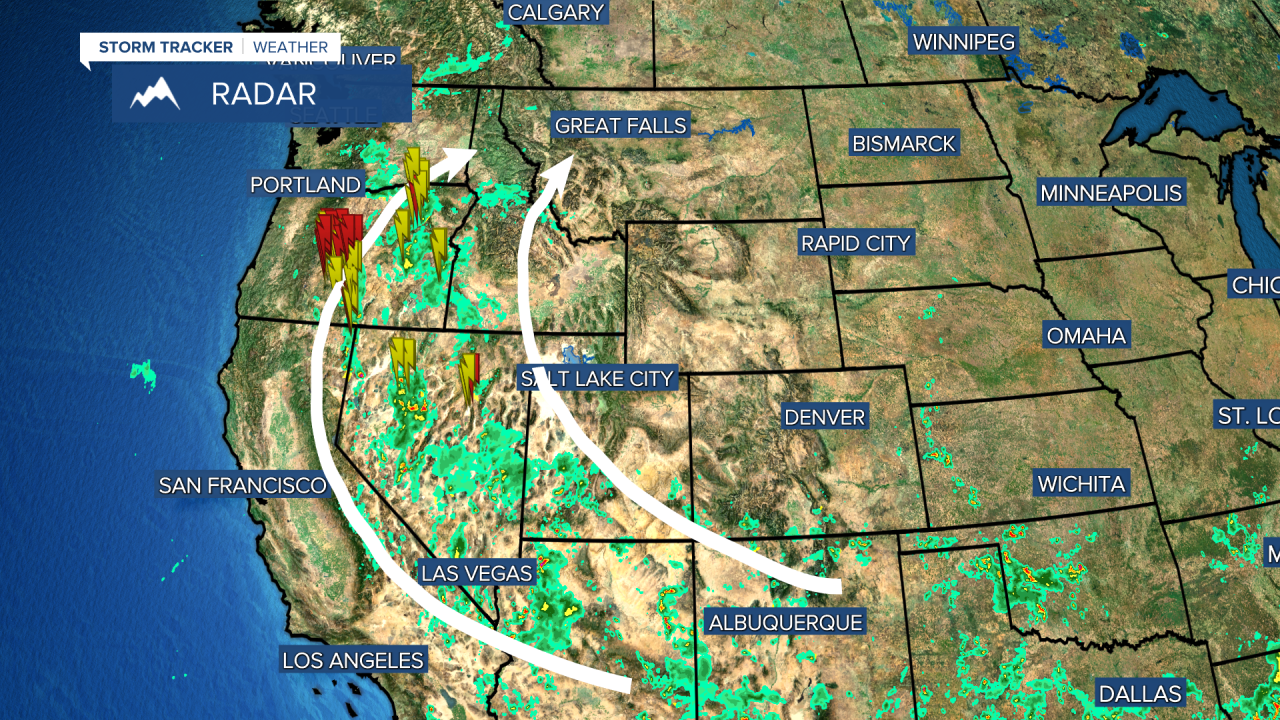
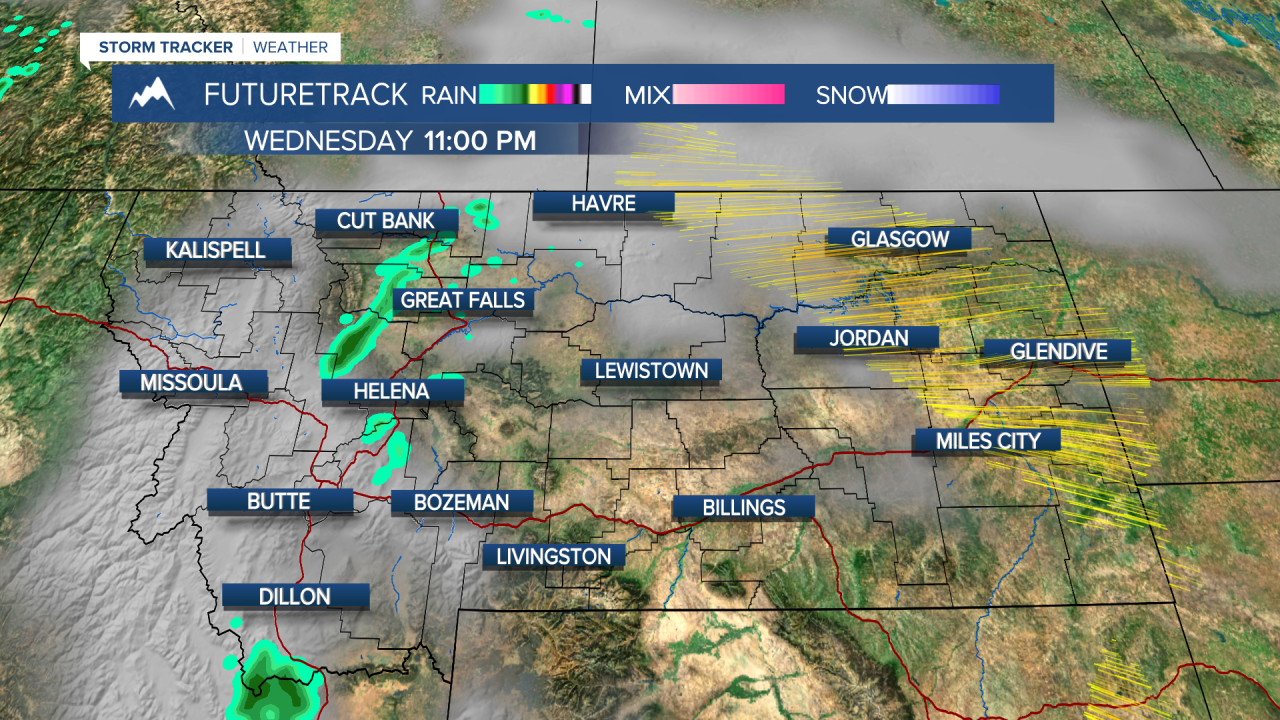
Some changes are heading our way over the next few days. Monsoon moisture from the southwestern United States has been surging northward up into the Pacific Northwest. Eventually this axis of moisture will move into Montana bringing a chance at thunderstorms producing rain but also lightning strikes. There appears to be enough moisture that these thunderstorms will not be dry, and some locally heavy rain is possible. Lightning strikes are a guarantee, and since the forests are dry and the temperatures have been hot, the fire danger will remain high. New lightning sparked wildfires are a possibility later this week and through the weekend. Strong winds are not in the immediate forecast, which is good news, and at the very least the monsoon moisture will produce more cloud cover which will keep temperatures lower. Without the partial cloud cover, the sun would be more intense and temperatures would be hotter. Wednesday the feed of monsoon moisture will move into western and central Montana. Clouds will increase so much that skies will be partly to mostly cloudy, keeping the temperatures in the 80s and 90s. Without the clouds, temperatures would likely climb over 100. A few thunderstorms will develop late in the afternoon and evening, and the threat of storms will continue through the night. Thursday will be partly cloudy with a few isolated thunderstorms in the afternoon. These storms will have some moisture to work with, but they will also produce lightning strikes. Highs will be in the 80s and 90s. Friday will have an increase in moisture and afternoon storms across more of the state. Saturday, storms could be widespread for much central and eastern areas. Temperatures will be more in the 80s and lower 90s. Some heavy rain with thunderstorms is possible through the night. Sunday will be mostly sunny with an isolated storm, highs near 90. Temperatures will increase early next week, going back up into the 90s.
Curtis Grevenitz
Chief Meteorologist


